Deep Ocean El Niño Readings Rise
A Record Signal from the Deep
The numbers coming out of NOAA's Climate Prediction Center this August are unlike anything scientists have seen in the modern record. According to the Santa Barbara Independent, the agency's monthly El Niño discussion revealed that water temperatures roughly 100 meters — about 330 feet — below the ocean surface in the equatorial Pacific have reached 10°C (18°F) above normal. That anomaly, buried beneath the thermocline where warm surface water meets cooler deep water, represents a massive reservoir of stored heat that hasn't yet fully expressed itself at the surface.
"It's an indication that there is a lot of fuel still left in the tank to fuel this El Niño," Michelle L'Heureux, who heads the El Niño team at NOAA's Climate Prediction Center, told the Independent. Across the entire eastern Pacific, the temperature increases from the surface down to 330 meters are now the largest in the historical record dating back to 1980, she said.
At the surface, readings tell a more measured but still striking story: anomalies range from 1.4°C near Tahiti to 2.9°C along coastal South America — each up a few tenths of a degree from the month before, according to the Independent's reporting. That creeping surface warmth is translating directly into forecast confidence. NOAA's Climate Prediction Center now places the chance of a very strong El Niño event at greater than 90 percent for the fall and winter of 2026–27. Newsweek reported that NOAA estimates a 97 percent chance the event will persist into early spring 2027.
Santa Barbara in the Crosshairs
For residents of the Central Coast, this is not an abstract atmospheric phenomenon. It is a weather pattern with a visceral local history — and the current data is tracking directly along that precedent.
The Independent reports that mid-Pacific temperature readings are retracing the trajectory of the 1997–98 El Niño almost precisely, with current equatorial Pacific water temperatures following the same curve as that historic event. What did that look like for Santa Barbara? Weather Underground's historical records show that Santa Barbara recorded 21.74 inches of precipitation in February 1998 alone, contributing to the city's wettest water season on record at nearly 47 inches total — roughly three times the annual average. The Independent puts downtown Santa Barbara's total at 46 inches and notes that San Marcos Pass received a staggering 87 inches that season, with the county as a whole logging 247 percent of normal rainfall.
The flooding that followed was severe. The Santa Barbara Bucket Brigade's disaster timeline documents that February 1998 storms brought 63 mph winds, downed power lines across Goleta and Santa Barbara, 15-foot waves that damaged Stearns Wharf, flooded UCSB classrooms, and forced the closure of Santa Barbara Airport. The Santa Barbara News-Press reported that storms associated with that El Niño caused over $1 billion in damages statewide.
The Blob Adds a Wild Card Closer to Home
Compounding the El Niño signal is a separate but related phenomenon that has now arrived on Santa Barbara's doorstep. A marine heat wave — colloquially known as "the Blob" — has moved into the Santa Barbara Channel, the Independent reported Friday. The ocean, already seasonally warmer as fall approaches, is now running several degrees above those seasonal norms.
This is part of a broader pattern the Santa Barbara Independent tracked as early as July, when forecasters noted two separate Blobs off the West Coast — one tracked since May 2025 and another since May 2026 — with the newer formation lying roughly 600 miles west of San Francisco before migrating southward. The Weather Company has noted that such Pacific Blobs can drive more moisture into storms hitting the West Coast, amplify warm temperatures along the shoreline, and disrupt cold-water marine ecosystems.
The compounded effect — a historically charged El Niño and an anomalously warm inshore Channel — means local conditions heading into winter are being watched closely by forecasters and emergency managers alike.
Not a Guarantee — But the Odds Are Shifting
Longtime Santa Barbara weather watchers will remember that a strong El Niño doesn't automatically mean a wet winter for the South Coast. The 2015–16 event, which technically produced the strongest ocean temperature readings in the modern record, delivered only 69 percent of normal rainfall for Santa Barbara County, according to the July reporting by the Independent. A ridge of high pressure deflected storm systems northward toward the Pacific Northwest, leaving Southern California comparatively dry.
KTLA reported that the current El Niño is now predicted to be both stronger and longer-lasting than earlier forecasts suggested, with a 97 percent chance of persisting through spring 2027 and an 81 percent chance of growing "very strong" by its winter peak. Climate scientist Daniel Swain, cited by CBS Los Angeles, noted that the European Centre for Medium-Range Weather Forecasts — considered a gold standard for weather modeling — projects 70 to 100 percent odds of above-average winter precipitation in California, and similar odds of the coming winter ranking among the top 20 percent of wettest winters on record for the state.
National Weather Service Director Ken Graham offered an important caution: "Every El Niño is not the same; each one is unique with its own imprint on our weather," he said, according to FOX 11 Los Angeles.
What Santa Barbara Residents Should Do Now
The critical window for El Niño's peak impact is projected to fall between November 2026 and January 2027, with effects potentially lingering into spring. River Partners noted that very strong El Niño events have frequently produced rainfall totals 50 to 100 percent above average in Southern California. For a region that still carries the institutional memory of the January 2018 Thomas Fire debris flows — when rain fell on denuded hillsides with catastrophic consequences — the prospect of an exceptionally wet winter carries particular weight.
The News-Press reported that Santa Barbara County's public works department is focused on ensuring local creeks can run freely and are cleared of vegetation that could worsen flooding, and that officials are pointing residents to the county's ReadySBC preparedness page. Homeowners in flood-prone neighborhoods — particularly those near creek corridors in Montecito, Goleta, and the lower Eastside — should review their flood insurance status and household emergency plans well before the first major storm arrives.
The Pacific is sending a clear signal. Whether Santa Barbara receives the message in the form of inches of rain this winter remains a matter of atmospheric physics still unfolding — but the subsurface fuel supply has rarely, if ever, looked like this.
Reported by 805.life
Researched and written drawing on primary sources. Additional reporting: Santa Barbara Independent.
City
Santa BarbaraAdditional Reporting
Santa Barbara IndependentPublished
August 14, 2026
Reported and written by 805.life
Explore Santa BarbaraAll Santa Barbara NewsMore News from Santa Barbara
 Santa Barbara
Santa Barbara High Boys Soccer Champions of ’70s Reunite With Coach Lito Garcia
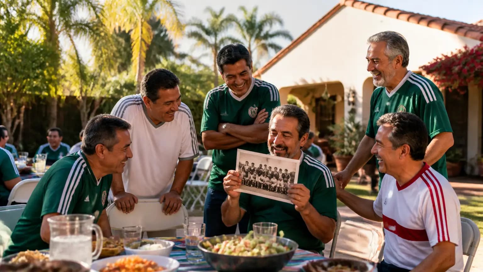
There's something special about a winning tradition that starts with a student's big idea. Back in 1973, Alfonso Guzman got the Dons' soccer program rolling at Santa Barbara High, and just two years later the team brought home its first CIF-Southern Section title — then did it again, and again, three-peating as champions. Recently, several of those pioneering players from the '70s got together at the home of their coach, Lito Garcia, to swap stories and celebrate the roots of a legacy that still echoes through local prep soccer. Noozhawk has the story, and it's a sweet reminder that the bonds built on a high school field can last a lifetime. For those of us who grew up around Peabody Stadium or cheered on the Dons, this one hits close to home. Here's to Coach Garcia and the players who set the standard — thanks for giving Santa Barbara a tradition worth passing down.
 Santa Barbara
Santa Barbara Mayoral Candidates Talk State Street, Rent Rules, City Budget
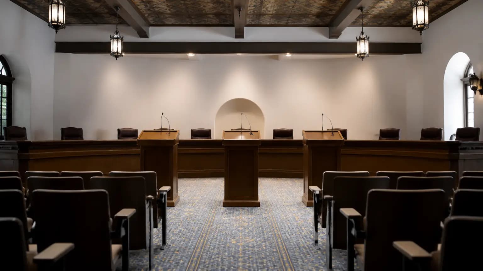
Santa Barbara's mayoral race is heating up, and the stakes couldn't be higher. With two sitting City Council members and a former school board president vying for the top job, November's election will shape the future of our city at a genuinely pivotal moment. Noozhawk reports the candidates are already diving into the big issues — State Street construction, the rollout of rent stabilization, and the city budget. These aren't abstract policy debates. State Street is our downtown's beating heart, and how we rebuild it will define Santa Barbara for years. Rent rules will directly affect thousands of local tenants and landlords. And the budget? That's everything from potholes to parks to public safety. Whoever wins will need to guide the council through some of the most consequential decisions we've faced in a decade. If you live in Santa Barbara, this is your chance to pay attention, show up, and make your voice heard. Local elections matter — maybe now more than ever.
 Santa Barbara
District 4 Candidates Debate Cost, Funding of Santa Barbara State Street Master Plan
Santa Barbara's State Street Master Plan is shaping up to be the defining issue in the District 4 City Council race, and honestly, it's about time downtown got this much attention. At a recent candidate forum, Genevieve Taft-Vasquez, Monte Wilson, Jason Dominguez and the other contenders all agreed on one thing — State Street needs a comeback — but they're split on how to pay for it and who should be watching the purse strings. That tension matters to all of us in the 805. State Street is our collective front porch: where we take out-of-town guests, grab dinner before a Granada show, and bump into neighbors on a Saturday stroll. However this plan shakes out, it'll shape downtown for a decade or more, and District 4 voters will have real sway over it. Big thanks to KEYT News Channel 3-12 for keeping us in the loop on the forum. If you live in District 4, do your homework before the ballots arrive — this one's worth your attention.