Hot, Dry Conditions Raise Fire Risk Across Santa Barbara County
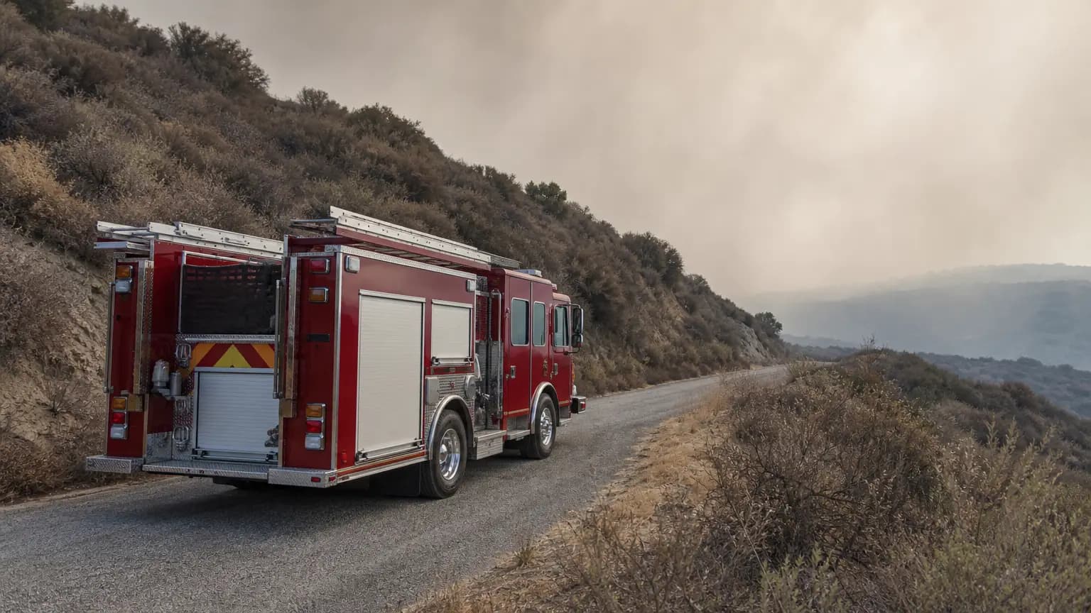
A dangerous convergence of triple-digit inland heat, powerful sundowner winds, and elevated surf is bearing down on Santa Barbara County this week, prompting officials to issue overlapping warnings that touch nearly every corner of the 805 region — from the Pacific shoreline to the Santa Ynez Valley floor.
What the Warnings Mean and Where They Apply
The National Weather Service (NWS) Los Angeles/Oxnard office upgraded its earlier heat watch to a full extreme heat warning, effective from 10 a.m. Tuesday, July 15, through 8 p.m. Thursday, July 17, covering Santa Barbara, Ventura, and Los Angeles counties. According to Edhat, temperatures during that window are projected to range between 90 and 110 degrees Fahrenheit, with Wednesday expected to be the hottest day — particularly in inland areas.
A separate fire weather watch is also in effect. The Santa Barbara Independent reported that the NWS posted the fire weather watch for Wednesday afternoon through Thursday morning, anticipating sustained winds of 20–30 mph and gusts reaching 45–55 mph. NWS meteorologist Devin Black told Noozhawk that South Coast residents should expect evening sundowner winds of 35 to 55 mph, creating critical fire conditions late Tuesday and Wednesday night.
Simultaneously, a beach hazard statement is in effect through Wednesday evening for beaches throughout Santa Barbara, San Luis Obispo, Ventura, and Los Angeles counties, according to Edhat. Dangerous rip currents, breaking waves, and surf of 3 to 5 feet are expected, raising drowning risk for swimmers, surfers, and beachgoers on rocks, Noozhawk reported.
Temperature Breakdown by Zone
Conditions will vary significantly across the county's diverse geography. On the South Coast — from Goleta to Carpinteria — Noozhawk reported that highs will reach the mid-80s Tuesday and Thursday, surging into the mid-90s Wednesday, with overnight lows staying in the mid-to-low 70s. The Santa Ynez Valley, separated from the coast by the Santa Ynez Mountains, faces far harsher conditions: mid-90s Tuesday and Thursday with a peak forecast of 101 degrees on Wednesday. In Santa Maria, temperatures are expected in the low-to-mid 80s with evenings cooling to the mid-60s.
KEYT's First Alert Forecast placed the wider regional range at 90 to 110 degrees, with offshore winds and little overnight recovery at higher elevations. NWS meteorologist Mike Woffard separately noted, as reported by the Independent, that foothills could reach the lower 100s and inland areas up to 105°F, while beaches remain relatively cooler in the 70s and 80s. Relief is expected to arrive Friday, when temperatures should return to more seasonal norms, according to NWS meteorologist Black.
The Sundowner Threat: A Uniquely Santa Barbara Danger
For longtime Santa Barbara residents, the mention of sundowners in the same sentence as extreme heat is a serious warning sign. Sundowner winds are downslope windstorms that roar off the southern slopes of the Santa Ynez Mountains, named for their tendency to intensify near sunset — and researchers have called them "the most dangerous fire weather regimes in Santa Barbara, California."
Scientific modeling published through UC Santa Cruz has shown that simulations using extreme sundowner winds spread fire "further south into the wildland-urban interface and toward more urban areas" — meaning neighborhoods from the Riviera to Montecito sit in the direct path of any fire ignited during such an event.
The Santa Barbara Independent explained the escalation path clearly: a fire weather watch, currently in effect, signals that critical conditions are expected within 48 hours. A Red Flag Warning — a more urgent designation — is issued within 24 hours of those extreme conditions or when a wildfire is already burning.
Adding to those concerns, the Santa Barbara News-Press reported that Southern California Edison and Pacific Gas and Electric are considering Public Safety Power Shutoffs (PSPS) in parts of the county due to elevated wildfire risk. A PSPS is a deliberate, temporary cutoff of electrical power to reduce the chance that utility equipment could ignite a fire during dangerous weather conditions.
What Residents Should Do Right Now
Officials from multiple agencies are urging county residents to take this event seriously. NWS meteorologist Carol Ciliberti told KEYT News Channel 3-12 that "these are dangerous conditions" and urged residents to check on elderly neighbors, children, and pets. The NWS warning flags a high risk of heat illness for "the very young, the very old, those without air conditioning, and those active outdoors," with humid conditions expected to compound the misery.
The Santa Barbara County Office of Emergency Management echoed those calls, recommending that residents avoid any activities that could spark a wildfire, check on vulnerable neighbors, and sign up for emergency alerts at ReadySBC.org, as reported by KEYT. For those without home cooling, Easy Lift Santa Barbara is offering individuals with disabilities access to cooling locations such as malls, libraries, parks, and beaches, the News-Press reported.
People drawn to the coast for relief face a different set of hazards this week. Surf of 3 to 5 feet and dangerous rip currents are expected at county beaches through Wednesday evening. Beachgoers should stay near staffed lifeguard towers and use extreme caution when entering the water, officials said.
For those who plan to use air conditioning heavily this week, residents in SCE service areas should monitor the utility's PSPS Weather Dashboard for any updates on potential shutoffs.
What Comes Next
Temperatures are forecast to return to normal levels Friday and remain there through the weekend, according to NWS meteorologist Black. After that, subtropical moisture is expected to return to the region around July 20–24, with higher humidity and chances of scattered rain showers and thunderstorms, according to meteorologist John Lindsey as reported by the Lompoc Record.
The broader context for this week's event is worth noting: the Climate Prediction Center reported on July 9 that El Niño conditions are currently present and expected to strengthen into the Northern Hemisphere winter of 2026–27, according to the Lompoc Record — a dynamic that forecasters say could shape weather patterns across the region in the months to come.
For now, Santa Barbara County residents are urged to stay vigilant through Thursday, avoid fire-starting activities, check on neighbors, and heed all emergency alerts as conditions evolve.
Reported by 805.life
Researched and written drawing on primary sources. Additional reporting: Noozhawk.
City
Santa BarbaraAdditional Reporting
NoozhawkPublished
July 13, 2026
Reported and written by 805.life
Explore Santa BarbaraAll Santa Barbara NewsMore News from Santa Barbara
 Santa Barbara
Bill Evans Tribute Comes to The Grand on State
Jazz lovers, clear your calendars. The Grand on State is hosting a tribute to the legendary Bill Evans, and it's being led by none other than Tamir Hendelman, one of the finest jazz pianists working today. If you've never caught a show at The Grand, this is a beautiful excuse to settle into one of downtown Santa Barbara's most intimate listening rooms. Evans reshaped modern jazz piano with his lyrical touch and harmonic depth, so hearing his catalog interpreted by a player of Hendelman's caliber is a real treat for our corner of the 805. The Santa Barbara Independent flagged the show, and we're glad they did — nights like this are exactly why our local music scene punches above its weight. Grab a friend, make an evening of it downtown, and let some timeless jazz wash over you. Details and tickets are worth snagging early.
 Santa Barbara
Pumpkin Patches Sprout Across Santa Barbara County
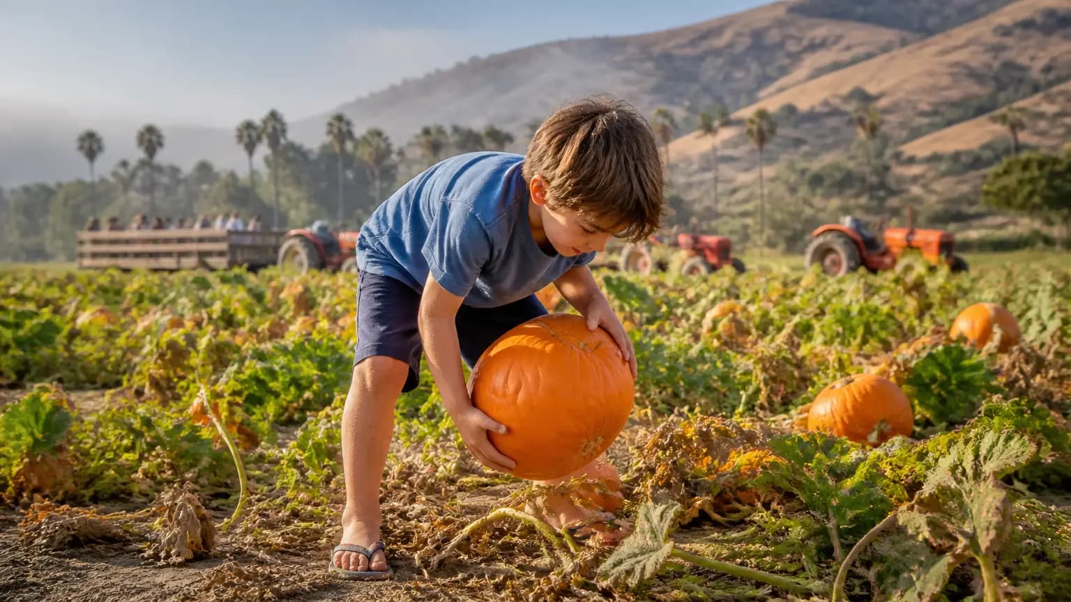
Fall on the Central Coast is a little different — we're still in flip-flops while the rest of the country digs out sweaters — but the pumpkin patches are officially open, and that's the signal we needed. Lane Farms on Walnut Lane is back daily through Halloween with hayrides, farm animals, and tractors, which means the classic Santa Barbara autumn outing is ready whenever the fog burns off. There's something grounding about this tradition. In a county where seasons blur together, a pumpkin patch is one of the few markers that keeps us tethered to the calendar. It's where kids pick their first pumpkin, where families snap the photo that ends up on the fridge, and where longtime locals cross paths with neighbors they haven't seen since summer. Noozhawk has the rundown on where to find them across the county, so plan a morning or afternoon outing and support the farms that keep this tradition going. Go early, bring a layer for the marine layer, and don't forget the camera.
 Santa Barbara
Santa Barbara Mayoral and Council Candidates Talk Art Support, Opportunities
Santa Barbara's creative community got some well-deserved attention Wednesday night — and not just from the usual arts crowd. The Santa Barbara Arts Collaborative and the Community Arts Workshop hosted a candidate forum where mayoral and city council hopefuls talked festivals, workspaces and collaborations, all aimed at keeping local artists here and thriving. It's easy to forget how much of our city's identity rides on the arts — from gallery walks on First Thursday to the murals along lower State Street and the studios tucked into the Funk Zone. But artists need affordable space and real city support to stay, and that's a conversation worth having before ballots are cast. Thanks to Noozhawk for covering this one. If you care about the creative pulse of the 805, it's worth a read before you vote.