Updated Flood Hazard Maps Go Into Effect in Santa Barbara County
After nearly a decade of outdated charts and almost eight years of post-disaster recovery maps, Santa Barbara County entered a new era of flood-risk management on June 10, 2026, when the Federal Emergency Management Agency's freshly revised Flood Insurance Rate Maps (FIRMs) became the law of the land. The change affects homeowners, developers, and local governments from the Ventura County line all the way up to the Santa Ynez Valley — and it carries real financial and regulatory consequences for thousands of properties.
What Changed and When
According to the City of Santa Barbara's official FEMA Mapping page, FEMA issued its Letter of Final Determination for the city on December 10, 2025, setting June 10, 2026 as the effective date for the new maps. On that date, the older maps were rescinded and the county began relying solely on the updated FIRMs, as the Santa Barbara Independent reported.
The new maps replace charts that Santa Barbara County had been using for roughly 10 years, according to Noozhawk. They cover a broad swath of the region: FEMA revised the Special Flood Hazard Area maps for parts of Santa Barbara County including the City of Santa Barbara, Montecito, Carpinteria, Buellton, Solvang, and Santa Ynez, a county fact sheet confirmed.
The maps themselves have been years in the making. FEMA first issued the preliminary FIRMs on March 26, 2024, and updated them on May 15, 2025, before they were formally adopted. The county did not wait passively: on July 15, 2025, the Board of Supervisors — also acting as the Flood Control and Water Conservation District Board — approved a recommendation from the Floodplain Administrator to incorporate the preliminary FIRMs into the county's official flood hazard maps, edhat reported. During the intervening months, the county applied the preliminary maps alongside FEMA's then-current effective maps until FEMA made them official this month.
The Shadow of Montecito's 1/9 Debris Flows
For longtime Santa Barbara County residents, the timeline of these maps is inseparable from one of the region's worst natural disasters. On January 9, 2018 — just weeks after the Thomas Fire scorched the mountains above — a catastrophic debris flow swept through Montecito, killing 23 people and damaging or destroying hundreds of homes. U.S. Highway 101 was closed through the community for roughly two weeks.
The disaster left the landscape fundamentally altered. Creek channels and land elevations changed throughout the debris flow area, rendering existing FEMA flood maps inaccurate. FEMA moved quickly in response: a recovery map was created within five months of the catastrophic debris flow — a record turnaround for FEMA — and it represented a major expansion of the flood plain in Montecito and the Carpinteria Valley, edhat reported at the time.
Those interim advisory flood maps had been in use since June 19, 2018. For nearly eight years, the Board of Supervisors and county planners relied on them to develop new building regulations and guide the post-disaster recovery. The new permanent FIRMs now replace those interim charts entirely.
The new maps were built with significantly more sophisticated tools. The updated maps were created using new technology to more accurately capture the topography of the region and how it has changed over the years, Noozhawk reported. That matters especially in Montecito, where years of storms since 1/9 have continued to shift creek beds, deposit sediment, and reshape the alluvial fans on which much of the community is built.
Who Is Affected — and How
The picture is mixed for property owners. Some will see relief; others will face new requirements. County spokesman Lael Wageneck summed it up plainly: "While some properties will see reduced requirements under the new maps, many projects will continue to require oversight," he told Noozhawk.
The areas most likely to see changes are the eastern portion of the city of Santa Barbara to the Ventura County line, along with some portions of the Santa Ynez Valley. Some property owners who were previously outside a flood zone may now find themselves inside one. Parts of Montecito are a prime example — the changed landscape after the 2018 debris flows means risk profiles have shifted considerably.
For development, the rules still carry significant weight. Projects near streams or rivers, within building setbacks, inside FEMA's newly mapped Special Flood Hazard Areas, or in the Repetitive Loss Zone will still require Flood Control District oversight. Larger or more complex projects — such as subdivisions, discretionary permits, or commercial development — must continue to meet standard conditions, the Independent reported.
On the relief side, county residents who own property in a former Recovery Map High Hazard Area may no longer need permitting review from the Flood Control District, a significant reduction in regulatory burden for some Montecito and Carpinteria landowners who had been living under the expanded post-disaster flood zone for years.
What Flood Insurance Means for Your Wallet
For most homeowners, the most immediate practical impact will be on flood insurance premiums. The new FIRMs are used directly by FEMA's National Flood Insurance Program (NFIP) to set coverage requirements and influence rates. The NFIP makes flood insurance available to residents, makes the city eligible for pre-disaster grants, and makes the city eligible for disaster relief assistance, according to the city's official FEMA mapping page.
For residents who find themselves newly inside a Special Flood Hazard Area, mandatory flood insurance coverage may now apply — particularly for properties with federally backed mortgages. Standard homeowners' insurance may not cover flood damage, and new NFIP policies require a 30-day waiting period before taking effect, the Independent cautioned. That means Santa Barbara-area homeowners should not wait until a storm is in the forecast to start the coverage conversation with their insurer.
What Residents Should Do Next
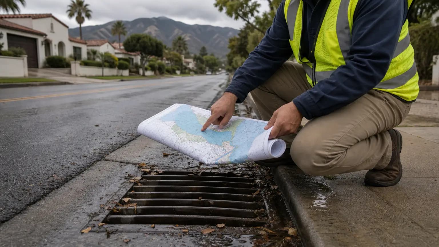
Residents can check whether their property is in a Special Flood Hazard Area — or has moved out of one — using the City of Santa Barbara's Interactive Flood Hazard Map for properties within city limits. For unincorporated county areas, the Santa Barbara County Flood Control District maintains its own mapping resources.
For questions about flood insurance, FEMA directs residents to floodsmart.gov. The Santa Barbara County Flood Control District can also be reached by phone at 805-568-3440 or by email at [email protected].
With another La Niña transition possible in the coming months and the region's history of atmospheric rivers and post-fire debris events, the stakes for getting flood-risk information right have never been higher on the Central Coast.
Reported by 805.life
Researched and written drawing on primary sources. Additional reporting: Noozhawk.
City
Santa BarbaraAdditional Reporting
NoozhawkPublished
June 15, 2026
Reported and written by 805.life
Explore Santa BarbaraAll Santa Barbara NewsMore News from Santa Barbara
 Santa Barbara
BizHawk: Gelato Spot Scooping Soon in Santa Barbara’s Paseo Nuevo
Santa Barbara, get ready to satisfy your sweet tooth — Sweetaly, a brand-new Italian gelato spot, is scooping its first California location into Paseo Nuevo this Saturday. There's something extra special about a gelato shop opening downtown; it’s not just about dessert, it’s about adding another little slice of la dolce vita to our daily strolls through the Paseo. Whether you're grabbing a cone after a beach day or making it a mid-shopping treat, this is the kind of spot that quickly becomes a local favorite. We love seeing our downtown evolve with fresh, family-friendly businesses, and Sweetaly is sure to bring a bright, welcoming energy to the heart of Santa Barbara. The Noozhawk team got the scoop first, and we’re just as excited to welcome them to the neighborhood. So mark your calendar, bring your curiosity (and your appetite), and let’s show Sweetaly some Central Coast hospitality this weekend.
 Santa Barbara
Santa Barbara Commission Praises Plan to Transform Vacant Nordstrom Into Housing
Big news for downtown Santa Barbara: the old Nordstrom building, which has sat empty since 2020, could soon be reborn as 112 new homes. The Historic Landmarks Commission gave the adaptive reuse plan a thumbs-up this week, and honestly, it's hard not to feel a little hopeful. Turning a vacant anchor store into housing feels like the kind of creative solution we need right now, especially with our housing crunch. Of course, it's not a done deal yet — the project still has hurdles, and the commission's support is just one step. But the fact that it's moving forward says something about how we're rethinking our downtown. Kudos to Noozhawk for digging into the details. If this comes together, it could be a real win for a more vibrant, livable Santa Barbara.
 Santa Barbara
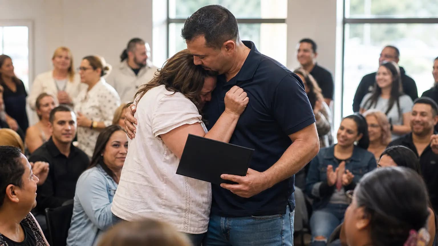
Dozens celebrate second chance as Santa Barbara reentry program graduates formerly incarcerated people
There were hugs, cheers, and a whole lot of hope at the Santa Barbara Day Reporting Center this week as dozens of formerly incarcerated men and women crossed the stage at the annual commencement ceremony. For these graduates, that walk wasn’t just a formality—it was the finish line of a voluntary reentry program that helps people rebuild their lives after prison. Family members, local leaders, and community supporters packed the room to celebrate each graduate’s determination and hard work. Programs like this matter deeply in the 805. Reentry services reduce recidivism, strengthen families, and help folks find stable housing and jobs right here in Santa Barbara. As KEYT News Channel 3-12 reported, this year’s ceremony was a powerful reminder that second chances can change lives—and that our community is stronger when we support everyone’s fresh start.