Wildfire Protection Plan approved
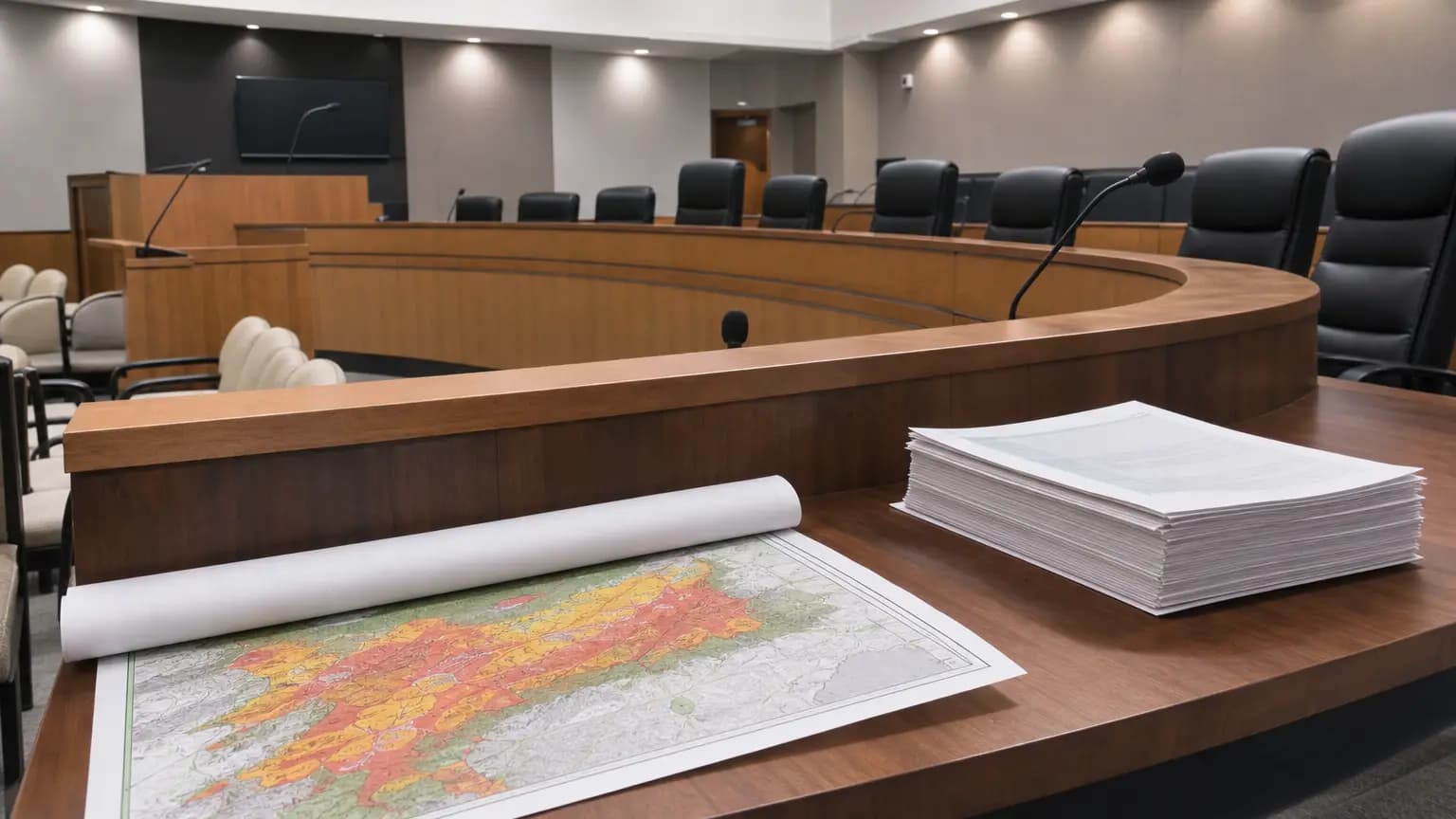
After nearly two years of scientific study, community workshops and interagency negotiation, Agoura Hills now has a formal roadmap for confronting its wildfire vulnerability. The City Council voted unanimously on May 27 to adopt a Community Wildfire Protection Plan (CWPP), a move officials say is essential both for on-the-ground safety improvements and for unlocking future state grant dollars, as The Acorn reported.
From Risk Assessment to Action Plan
The CWPP did not emerge from scratch. It is built directly on a Community Wildfire Risk Assessment (CWRA) that the city launched in July 2024 and completed in October 2025. That earlier study — a data-driven examination of hazards, vulnerabilities, and neighborhood-specific concerns — provided the scientific foundation the new plan translates into concrete action items. Preparation of the plan was fully funded through CAL FIRE's Wildfire Prevention Grants Program, according to The Acorn. The grant itself was awarded to the Santa Monica Mountains Regional Fire Safe Council in collaboration with the Agoura Hills Fire Safe Council through CAL FIRE's 2023–2024 California Investments program, the Agoura Hills Fire Safe Council reported in 2024.
The recommendations span four broad categories: vegetation management, home hardening, public education, and emergency preparedness. Three priority fuel-reduction projects are specifically named — thinning non-native plants and dead material along the roadway south of Park Vista Road and Liberty Canyon Road, clearing brush around Forest Cove Park, and maintaining a three-inch clearance along walkways on Medea Creek Trail between Chumash Park and Kanan Road. Community-wide goals include improving emergency communications and infrastructure reliability — especially during public safety power shutoffs — and expanding support for defensible-space education.
The plan was developed in partnership with fire safety and risk consulting firm Jensen Hughes, the same firm that assisted the City of Malibu in drafting its own CWPP following the 2018 Woolsey Fire. Community input came through surveys, public workshops, and online comments.
A Fire Corridor That Has Burned Twelve Times
The plan's urgency is grounded in hard historical data. David Kerr, a Jensen Hughes subcontractor and former fire chief for the Santa Monica Mountains National Recreation Area, told the council that Liberty Canyon carries the highest fire frequency anywhere in the area — it has burned 12 times in recorded history, averaging less than a decade between blazes. With the 2018 Woolsey Fire now approaching its eighth anniversary, Kerr said it would be reasonable to expect renewed fire activity in that corridor before long.
The reason, Kerr explained, is geography: fires generated in the Simi Hills tend to funnel south through the Las Virgenes Canyon corridor toward Malibu, exactly the path the Woolsey Fire traced so destructively. Compounding the terrain challenge are pockets of flammable non-native landscaping within the ignition zones of many homes, as well as access problems in several neighborhoods. In Chesebro Canyon and along the top of Foothill Road, narrow private roads with poor turning radii can block fire apparatus. South of the 101 Freeway, tight parking on access roads can similarly hamper equipment maneuverability.
Kerr acknowledged the complexity ahead: "The easy part is writing the plan — the hard part is implementing the plan, because there are so many varying partners that are involved here around Agoura Hills," he said at the May 27 meeting. The working group that helped shape the document included representatives from the L.A. County Fire Department, Lost Hills Sheriff's Station, local Fire Safe Councils, the Mountains Recreation and Conservation Authority, the Santa Monica Mountains Conservancy, California State Parks, the National Park Service, Southern California Edison, and the Community Fire Brigade.
Evacuation Routes: A Parallel and Contentious Fight
The CWPP approval came two weeks after a separate but deeply connected debate at the May 13 council meeting, where a standing-room crowd gathered for a public hearing on the city's updated evacuation analysis. That document, required by state law, evaluates the capacity, safety, and effectiveness of Agoura Hills' evacuation routes under various emergency scenarios, assuming the full build-out envisioned by the city's General Plan.
The council voted unanimously to accept that analysis as well — but not before more than 90 minutes of charged public comment, mostly focused on Kanan Road, the primary escape corridor for tens of thousands of residents and a lifeline for portions of Malibu as well. Residents who survived the 2018 Woolsey Fire recalled crawling through bumper-to-bumper traffic during that evacuation, and many drew comparisons to the chaos of January 2025's Palisades Fire. ABC7 reported that community members cited gridlock stretching miles along Kanan and questioned whether adding new high-density housing near the corridor would make conditions even more dangerous.
The analysis itself found that Kanan Road does not have sufficient capacity to handle its expected evacuation volume if all residents need to leave simultaneously, The Acorn reported. Potential mitigations identified in the study include reversing traffic lanes and temporarily repurposing bicycle lanes on portions of southbound Kanan Road and Reyes Adobe Road to add vehicle capacity.
Community Development Director Robbie Nesovic stressed that accepting the analysis does not authorize any development projects or road changes — it is a planning and assessment document, not an approval instrument. Councilmember Chris Anstead, the council's most critical voice on the subject, framed approval as a necessary first step rather than a clean bill of health: "This shows that right now, there's not sufficient roadway and evacuation routes. To have this passed is actually not a bad thing."
Councilmember Penny Sylvester, who noted that a personal friend died in the Woolsey Fire, urged residents to stay engaged beyond showing up to protest: "Don't just come and yell at us and then leave. Be partners with us, work with us."
What Comes Next for Residents
With the CWPP now formally adopted, city staff can begin pursuing state and federal grant funding to implement the plan's priority projects — the document's primary near-term value. The city's emergency preparedness page notes the full CWPP was made publicly available for review beginning March 9, 2026, and residents can access it there.
For homeowners, the most actionable takeaways from the plan remain defensible space compliance and home hardening. The city already launched a free ember-resistant vent mesh program in partnership with the Agoura Hills Fire Safe Council in September 2025, providing residents with materials to block the ember intrusion that experts identify as the leading cause of home ignitions during wildfires. The council has indicated that wildfire preparedness remains a top budget priority going forward.
Both the CWPP and the evacuation analysis are now incorporated into the city's General Plan Safety Element — meaning they will formally shape how officials evaluate future development proposals, infrastructure investments, and emergency planning decisions. Whether that translates into visible change on the ground before the next fire season will depend on how quickly the city can secure funding and coordinate among the many agencies whose jurisdictions criss-cross the hills above Agoura.
Reported by 805.life
Researched and written drawing on primary sources. Additional reporting: The Acorn (Agoura Hills).
City
Agoura HillsAdditional Reporting
The Acorn (Agoura Hills)Published
June 11, 2026
Reported and written by 805.life
Explore Agoura HillsAll Agoura Hills NewsMore News from Agoura Hills
 Agoura Hills
Major 101 upgrade in the works
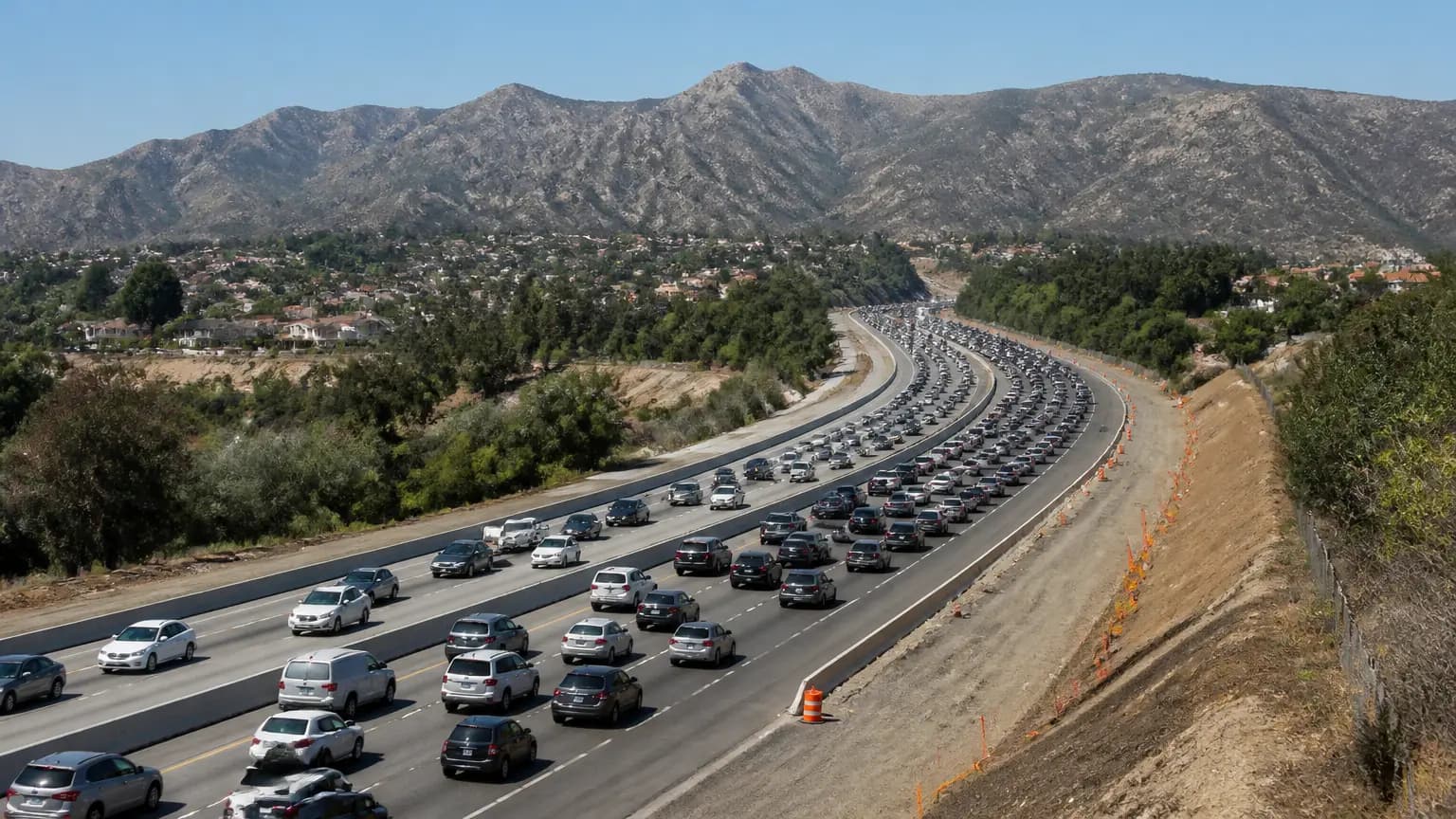
If you drive the 101 between Thousand Oaks and Ventura, you already know the drill: leave early, pray for a break in the backup, and still roll into work late. Well, there's finally some real movement on a fix. Amanda Fagan from the Ventura County Transportation Commission briefed the Thousand Oaks City Council on Sept. 15 about options for overhauling a 27-mile stretch of the 101. As The Acorn (Agoura Hills) reported, this is a decades-long project, so don't expect relief next month. But the conversation is happening, and "time reliability" is driving it. For those of us in the 805 who treat the 101 like a second home, this matters. It's the spine of the region, and it's been choking for years. Stay tuned, neighbors, and maybe, just maybe, we'll get our evenings back.
 Agoura Hills
Prominent Old Agoura entryway signs get much needed makeover
If you've driven into Old Agoura lately, you may have noticed those rustic entryway signs looking sharper than they have in years. Back in 1989, Ron Troncatty — then president of the Old Agoura Homeowners group — dreamed up a way to put the neighborhood's character into physical form. Now 77, he still sums it up perfectly: "We're a rustic, eclectic, rural community that is first and foremost equestrian. We love our dirt, hate concrete." That's Old Agoura in a nutshell — one of the oldest residential pockets in Agoura Hills, where horse trails outrank sidewalks and nobody's in a hurry to pave paradise. The signs at the neighborhood's entrances have always been more than markers; they're a handshake, a promise that you're entering someplace that refuses to lose its soul. So when The Acorn reports those signs got a much-needed makeover, it's worth a nod. Small fix, big meaning. Here's to the dirt, the horses, and the neighbors who keep Old Agoura exactly the way it was meant to be.
 Agoura Hills
Child suffers medical emergency at local elementary school, later dies
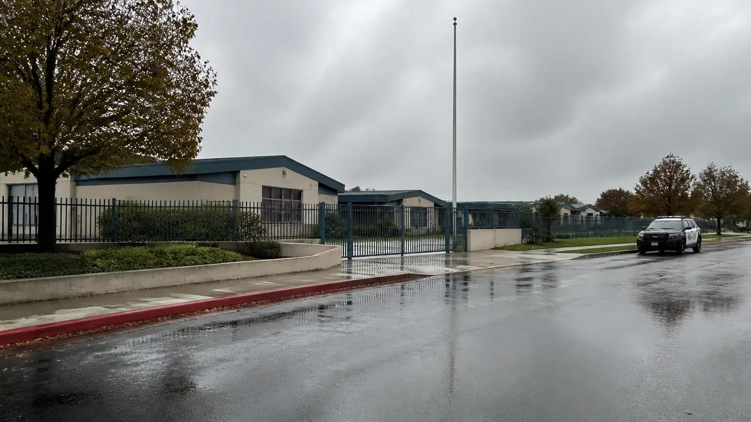
Word reached our corner of the 805 this week that a young child died after a medical emergency at Westlake Elementary in Thousand Oaks. Our hearts go out to that family, and to everyone on the campus who witnessed or responded to something no school community ever wants to face. It's a heavy reminder of how quickly an ordinary Tuesday can turn. Deputies say the child wasn't a student at the school, which only deepens the questions so many of us are holding. The Acorn first reported the news, and we'll keep following as officials share more. If you're a parent in Agoura Hills or anywhere nearby, hold your kids a little closer tonight. And if you see a first responder or school staffer this week, a simple thank-you goes a long way.