Prescribed Burn in Tepusquet Canyon Planned This Fall
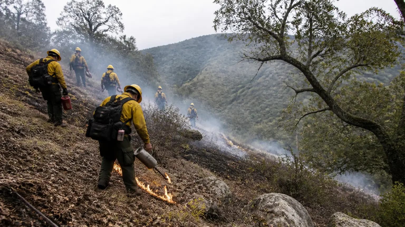
Santa Barbara County residents may notice smoke drifting across the North County in the coming weeks as fire officials prepare a 289-acre prescribed burn in Tepusquet Canyon, east of Santa Maria. The Santa Barbara County Fire Department plans to ignite the two-day burn in late October or early November, weather permitting, according to Noozhawk.
The project, located near Tepusquet Road, targets brush and oak understory in a canyon that sits in the wildland-urban interface north of the Santa Maria Valley. For a county that has repeatedly seen canyon-heavy terrain funnel destructive wildfires toward populated areas, fuel-reduction burns like this one have become a core part of the defensive strategy.
What's Planned and Why
The tentative plan calls for burning 289 acres over roughly two days, officials said. The effort serves two purposes: reducing hazardous wildland fuels before the height of fire season, and advancing an ongoing vegetation-management program aimed at controlling non-native grasses and re-establishing native bluff scrub vegetation.
Prescribed fire is widely used across California as a preventive tool. Because crews choose the timing, weather, and burn conditions, prescribed fires typically burn less intensely than wildfires — consuming accumulated fuels in controlled doses rather than allowing them to build up until an ignition occurs under extreme conditions. That lower intensity also helps keep fires on the ground and out of tree canopies, which can slow or stop the spread of a future wildfire moving through the treated area.
Coordinating Air Quality Across Four Counties
Smoke management is a central concern for any prescribed burn on the Central Coast, and this one has drawn an unusually broad planning effort. The burn is being planned and coordinated by the air pollution control districts of Santa Barbara, San Luis Obispo, San Joaquin Valley, and Ventura counties, along with the California Air Resources Board, in an effort to minimize air quality impacts on surrounding communities, officials said.
The Santa Barbara County Air Pollution Control District reviewed the project's Smoke Management Plan and set conditions designed to limit smoke impacts countywide. The burn will only proceed when meteorological conditions are favorable to direct smoke away from population centers — meaning officials will be watching wind patterns and dispersion conditions closely in the days leading up to ignition. If conditions fall short, the burn will be rescheduled.
Even so, officials cautioned that shifting winds and changing weather make it difficult to predict which parts of the county, if any, might be most affected by smoke. Residents in Santa Maria, Orcutt, and the Santa Ynez Valley — as well as communities farther downwind — could see or smell smoke depending on conditions.
What Residents Should Do If They Smell Smoke
County officials offered standard public-health guidance for the burn window: if you smell smoke or see it in your area, limit outdoor activities, avoid strenuous exertion, and stay indoors as much as possible with doors and windows closed.
Those precautions are especially important for children, older adults, and people with heart or lung conditions, officials said. Residents who are particularly sensitive to smoke may want to consider temporarily relocating on the day of the burn.
Symptoms of smoke exposure can include coughing, wheezing, shortness of breath or difficulty breathing, chest tightness or pain, nausea, and unusual fatigue or lightheadedness. Anyone experiencing concerning symptoms should contact a health care provider.
Drivers should also use caution near prescribed fire operations, as smoke can cross roadways and reduce visibility, particularly in canyon areas like Tepusquet Road.
A Familiar Strategy for the Central Coast
Prescribed burning has deep roots on the Central Coast, where land managers, fire agencies, and Indigenous practitioners have increasingly leaned on "good fire" as a hedge against the kinds of catastrophic wildfires that have shaped the region in recent decades. The county fire department and partner agencies have regularly scheduled similar burns in the fall and spring — the windows when vegetation moisture, humidity, and winds typically align to allow controlled ignition.
For Tepusquet Canyon specifically, the brush and oak understory being targeted represents the kind of heavy fuel load that firefighters worry about most when dry, windy conditions arrive. Reducing those fuels now, officials say, gives future fire crews better defensible space and reduces the likelihood of an extreme fire event in the area.
How to Track the Burn
Because the burn depends entirely on weather and smoke-dispersion conditions, residents should not treat the late-October/early-November window as fixed. Officials have said the burn will be postponed if conditions are not as desired.
The Santa Barbara County Air Pollution Control District maintains a Prescribed Burns Map on its website showing this burn along with upcoming and past prescribed fire projects across the county. Residents can also follow Santa Barbara County Fire and county emergency-information channels for day-of announcements.
Residents with questions about smoke impacts can contact the APCD directly, and anyone experiencing a medical emergency related to smoke exposure should call 911.
For now, officials' message to the community is simple: a plume of smoke rising from the Tepusquet area this fall is likely planned, not an emergency — but everyone, especially smoke-sensitive residents, should take routine precautions while the work is underway.
Reported by 805.life
Researched and written drawing on primary sources. Additional reporting: Noozhawk.
City
Santa BarbaraAdditional Reporting
NoozhawkPublished
October 20, 2026
Reported and written by 805.life
Explore Santa BarbaraAll Santa Barbara NewsMore News from Santa Barbara
 Santa Barbara
Costume Swap Takes Hidden Horror Out of Halloween
Halloween is supposed to be about spooky fun, not stress over how much a costume costs or where last year's outfit ends up. That's the idea behind The Ultimate Halloween Swap, and Opera Santa Barbara is helping make it easy by serving as a drop-off spot at its State Street office. You bring a costume you're done with, and you can pick up something new-to-you for free. It's a small thing that adds up in a town like ours, where so many of us are trying to be a little more sustainable and a little more budget-conscious at the same time. Instead of another costume gathering dust in a closet, it gets a second life. And honestly, swapping feels very Santa Barbara — neighborly, creative, and a good excuse to wander downtown. As Noozhawk reported, this free swap was founded by sustainable fashion journalist Lexy Silverstein. If you've got a costume to pass along, consider dropping it off and maybe finding your next look while you're at it. It takes some of the hidden horror out of the holiday and puts the fun back where it belongs.
 Santa Barbara
Aggressive Daytime-biting Mosquitoes Threaten County Infestation
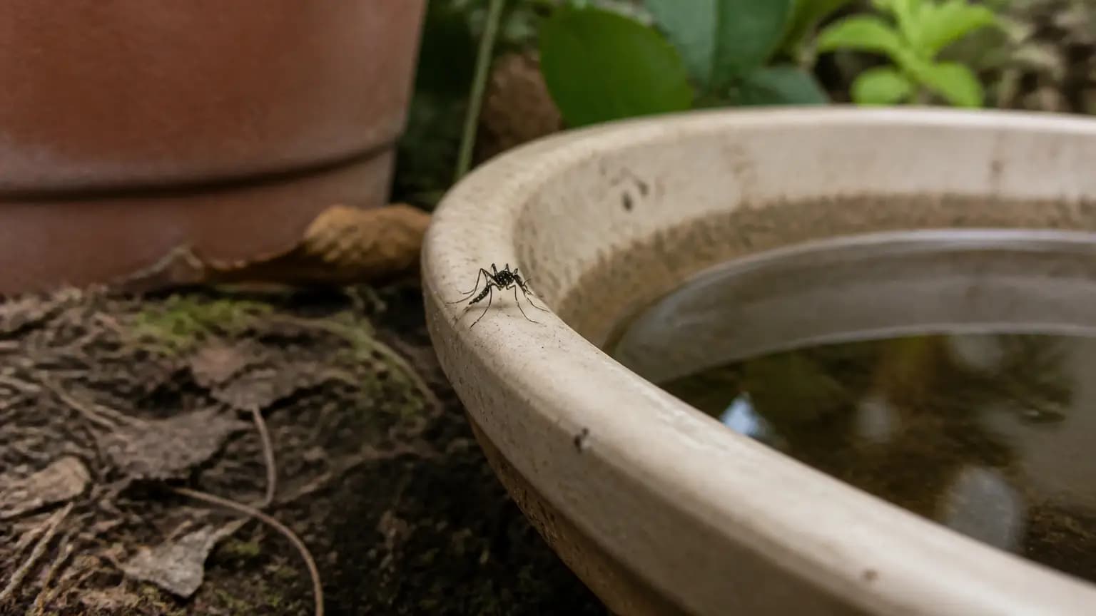
Heads up, neighbors — Santa Barbara County's mosquito district has spotted invasive Aedes aegypti mosquitoes near North Turnpike Road and Calle Real, and this isn't your average backyard nuisance. These little guys bite during the day, are unusually aggressive, and could take hold here if we don't push back now. That matters for all of us who live for evenings on the patio and weekend hikes — but more importantly, Aedes aegypti can carry diseases like dengue and Zika. The district is asking residents to dump standing water around the house, keep screens tight, and report daytime bites. Noozhawk has the full advisory, so give it a read and do your part. A few minutes emptying plant saucers and buckets goes a long way toward keeping our slice of the 805 comfortable and safe.
 Santa Barbara
UC Santa Barbara Researchers Develop Free Tool to Make Ocean Mapping Easier
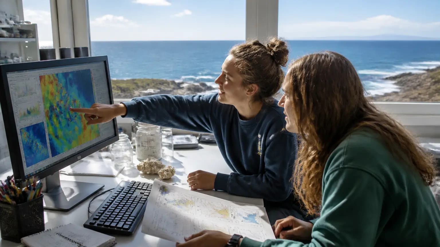
Santa Barbara's ocean is more than a backdrop—it's part of who we are. So when UCSB researchers create something that helps scientists better understand our coastal waters, it's worth paying attention. Their new free tool, Oceandatr, pulls together ocean data from all sorts of sources so researchers can actually find and organize what they need. That means faster science and better-informed decisions about the waters we surf, swim, and fish in. As KEYT News Channel 3-12 reported, the tool is free and designed to make ocean mapping easier. For a community that lives and breathes the Pacific, that's a quiet win. Whether you're a student, a fisherman, or just someone who loves our coastline, better ocean data helps protect the place we call home. It's a nice reminder that some of the most important work happening here doesn't make headlines—but it makes a difference. Big kudos to the Gaucho researchers behind it.